Ha Ha Tonka State Park
Colosseum Trail
Plan your visit.
Access & terrain
The official guide rates this a rugged hike. Natural tread and boardwalk are joined by steps, loose or uneven rock, steep grades and nearby drop-offs. Yellow blazes identify Colosseum Trail where other park trails share the route. This describes trail features, not current conditions.
Missouri State Parks’ official Colosseum Trail guide · Missouri State Parks / Missouri Department of Natural Resources · Source checked .
Route facts checked . Source publication date not provided. This is not a live access check.
Mapped route point; vehicle access and parking are not verified. Read the access notes above before choosing your arrival point.
- Published route length
- 0.6 mi
- Route type
- loop
- Surface
- Natural · Boardwalk
- Difficulty
- Rugged
The route
Official lineworkGetting the route map ready…
Official route linework may include spurs or separate parts. The map does not invent connections.
Parking & getting there
Still to verify: Intended arrival and parking permission have not been reviewed.
Directions use the existing mapped route point. A parking pin or vehicle approach is not inferred.
Hours & rules
Still to verify: Grounds hours have not been reviewed. Trail hours have not been reviewed. Parking hours have not been reviewed. Unknown hours do not mean 24-hour access.
Checked dates record source review, not current open status. Check official notices before travel.
Before you choose
Route overview
Colosseum Trail makes a loop through a collapsed-cavern landscape. It passes below the natural bridge, descends into the Colosseum sinkhole and climbs back toward the ridge. Large boulders, a bluff-side stretch and the return across the bridge show different parts of the same karst formation.
Missouri State Parks’ official Colosseum Trail guide · Missouri State Parks / Missouri Department of Natural Resources · Source checked .
The climbs ahead
Elevation
Loading stored elevation…
The bigger picture
Park-context relief
See the rocky ridges, valleys and lake shore around Ha Ha Tonka. Shading shows landform, not vegetation, current trail conditions or a park boundary.
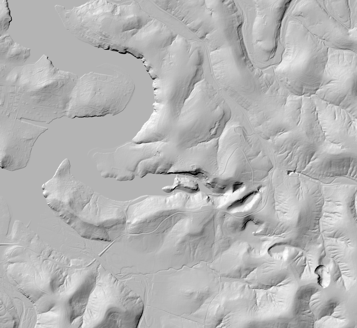 N ↑
Selected route · official linework; separate parts remain separate. USGS 3DEP multi-resolution hillshade · cached 2026-10-10T12:37:03.523877+00:00. Display scale is not source DEM resolution.
Sources & credits
Route facts checked . Source publication date not provided. This is not a live access check.
Confirm current access with the park. Notice dates describe the notice; source check dates record a review, not a live status report.
Credit: Missouri State Parks / Missouri DNR · Source terms
DNR offers public GIS downloads. The Castlewood SURFACES download metadata has access constraints None and an accuracy/no-warranty use disclaimer. The linked Trail Routes service and official portal item specify no additional use restrictions or named open license. Credit Missouri DNR; not a legal survey.