Onondaga Cave State Park
Blue Heron Trail
Plan your visit.
Access & terrain
The guide lists a moderate, blue-blazed 0.5-mile linear trail with gravel and paved or concrete surfaces. The catalog retains a 1.0-mile out-and-back course, measured from official return linework as 0.99 mile. Structural crossings and occasional water over the trail are possible features.
Missouri State Parks’ official Blue Heron Trail guide · Missouri State Parks · Source checked .
Route facts checked . Source publication date not provided. This is not a live access check.
Mapped route point; vehicle access and parking are not verified. Read the access notes above before choosing your arrival point.
- Published route length
- 1.0 mi
- Route type
- out and back
- Surface
- Paved
- Difficulty
- Easy
The route
Official lineworkGetting the route map ready…
Official route linework may include spurs or separate parts. The map does not invent connections.
Parking & getting there
Still to verify: Intended arrival and parking permission have not been reviewed.
Directions use the existing mapped route point. A parking pin or vehicle approach is not inferred.
Hours & rules
Still to verify: Grounds hours have not been reviewed. Trail hours have not been reviewed. Parking hours have not been reviewed. Unknown hours do not mean 24-hour access.
Checked dates record source review, not current open status. Check official notices before travel.
Before you choose
Route overview
Follow the lakeside corridor between the visitor center and campground, crossing the historic millrace supplied by Onondaga Spring. The mapped course retraces the main corridor for the return. The mapped lakeside access spur is a separate option.
Missouri State Parks’ official Blue Heron Trail guide · Missouri State Parks · Source checked .
The climbs ahead
Elevation
Loading stored elevation…
The bigger picture
Park-context relief
See the wooded hills and Meramec River corridor around Onondaga Cave. Shading shows landform, not vegetation, current trail conditions or a park boundary.
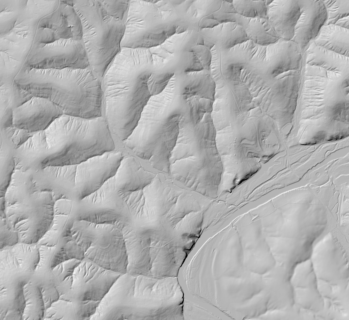 N ↑
Selected route · official linework; separate parts remain separate. USGS 3DEP multi-resolution hillshade · cached 2026-10-10T12:36:58.510518+00:00. Display scale is not source DEM resolution.
Sources & credits
Route facts checked . Source publication date not provided. This is not a live access check.
Confirm current access with the park. Notice dates describe the notice; source check dates record a review, not a live status report.
Credit: Missouri State Parks / Missouri DNR · Source terms
DNR offers public GIS downloads. The Castlewood SURFACES download metadata has access constraints None and an accuracy/no-warranty use disclaimer. The linked Trail Routes service and official portal item specify no additional use restrictions or named open license. Credit Missouri DNR; not a legal survey.